


5,8 km | 17,5 km-effort

Tous les sentiers balisés d’Europe GUIDE+


Kostenlosegpshiking-Anwendung
 SityTrail
IGN / Geografische Institute
SityTrail World
Die Welt öffnet sich für Sie
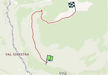
Tour Zu Fuß von 5,1 km verfügbar auf Graubünden, Region Unterengadin/Münstertal, Unteres Tal. Diese Tour wird von SityTrail - itinéraires balisés pédestres vorgeschlagen.
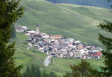
Vna - Piz Arina
Symbol: weiss-rot-weiss


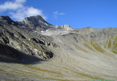
Zu Fuß
Zu Fuß

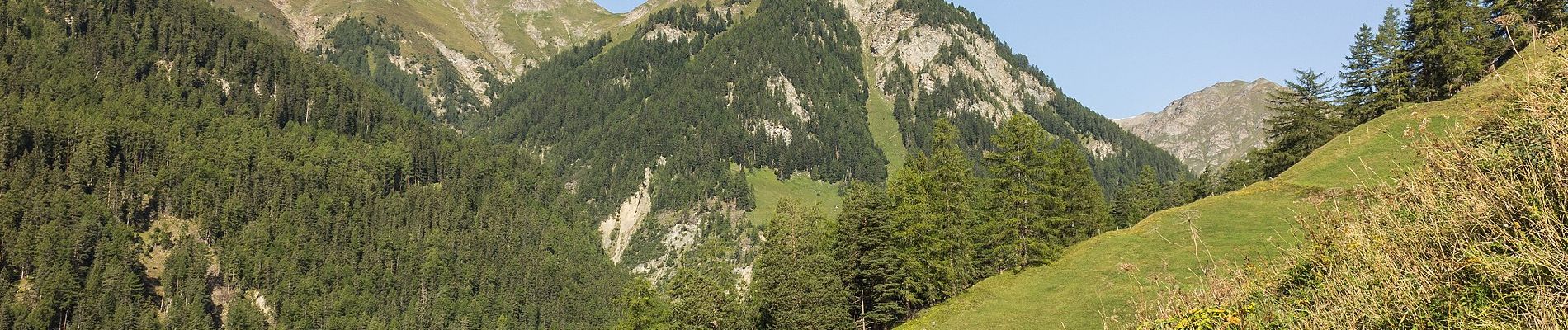
Zu Fuß

Wandern